Posted at 5:00 pm
Underlined blue text represents links to weather maps or other media
Summary and Analysis:
Reported snowfall totals in Berkshire County ranged from 1 – 2″ in the lower elevations of South County to 3 – 4″ over the elevated terrain in South County (Becket). The only report from North County was Clarksburg with 3″. There was a partial report from Savory of 3.5″ but that was at 11 pm last night, before the snow ended. I measured 3″ at my house in Richmond. A band of heavier snow developed after midnight and moved over central to northern Berkshire. As a result, the highest totals were reported there, with the one report from Pittsfield at 4.5″ and a report from Lanesborough of 6.0″. So….reported snowfall totals had a fairly wide range of 1 – 6″. This was due to the fact that the storm system was weak and disorganized so the snow tended to be patchy with some bands of slightly heavier snow. The main cause of the disparity in snowfall amounts was due to the fact the surface low split in two due to two separate upper-level disturbances. The trailing disturbance and low that came through after midnight had almost all of its snowfall focused in a narrow but fairly heavy band that missed South County entirely but dropped several inches of snow between central and northern Berkshire….
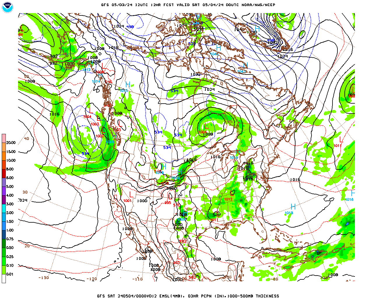
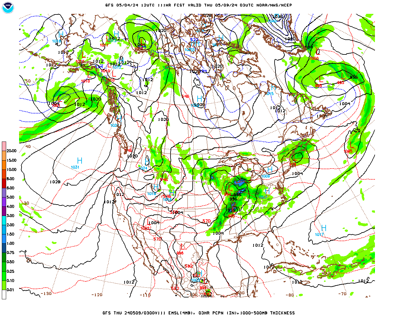
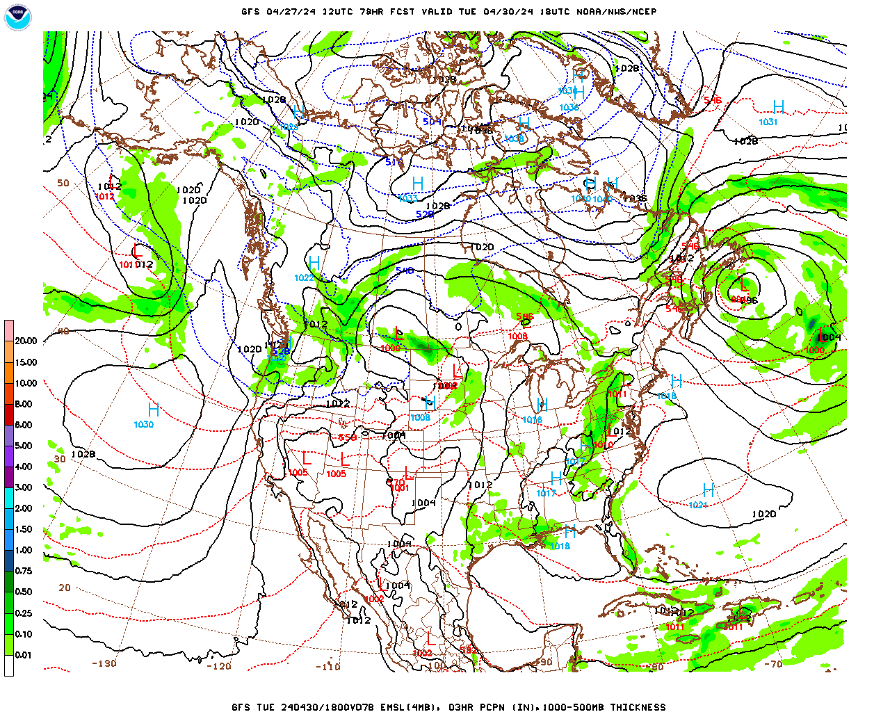
A very broad trough in the jet stream wave pattern remains centered over central and eastern North America. In fact, the trough is so broad that the jet stream pattern is quite zonally (west to east) oriented. This pattern will not change much into next week. Therefore, the lack of any amplified waves means that any storm systems that develop will be quite weak. In fact, only one of these looks likely before next Tuesday or Wednesday. On Sunday afternoon and night a weak surface low will move by to our north and give us an inch or two of snow at most. The wave pattern becomes more amplified mid week and it is starting to look like we will see a series of stronger surface lows develop and come through Tuesday night through Thursday. Right now it looks like a mixture of precipitation types will be associated with that storminess but….that event is still a week away.
For the next few days and right through the weekend, temperatures will be slightly below average for this time of year as the center of the previously mentioned trough propagates slowly over the Northeast. At the surface, as the departing surface low moves over the Canadian Maritime, strong surface high pressure developing under the western side of the trough will move slowly eastward. On Thursday, the pressure gradient between the two systems will make for a breezy day and the strong westerly breezes will generate some lake-effect snow showers which will likely come through the county on Thursday afternoon through Friday. As the high pressure system moves in Friday and into the weekend we should see some sun. However, we will be on the northern side of the system so, with the clockwise circulation around the high, we will still have westerly winds bringing moisture off the Great Lakes. As a result, skies will remain fairly cloudy with scattered snow showers or flurries still possible. On Sunday, the previously mentioned weak surface low will be approaching so it should cloud up with a chance for snow showers or a little light snow during the afternoon.
Berkshire County Forecast:
Wednesday Night
Partly to mostly cloudy. Low temperatures in the upper teens, mid teens over the elevated terrain. Westerly winds at 5 – 10 mph, becoming light after midnight.
Thursday
A mix of clouds and sun, breezy and seasonably cold. Snow showers likely in the afternoon. Probability of precipitation 60%. Any accumulations less than one inch. High temperatures near 30, low 30s in the lower elevations of South County, mid to upper 20s over the elevated terrain. Westerly winds at 5 – 10 mph in the morning, becoming west-northwesterly at 10 – 15 mph in the afternoon.
Thursday Night
Partly cloudy and seasonably cold. Still the chance of a snow flurry or snow shower, particularly in northern areas. Probability of precipitation 30%. Little or no accumulation. Low temperatures near 10, mid to upper single digits over the elevated terrain. Westerly winds at 5 – 10 mph.
Friday
Morning sunshine will give way to mostly cloudy skies in the afternoon. Chance of a snow shower or flurry during the afternoon. Probability of precipitation 30%. Little or no accumulation. High temperatures generally in the low 20s, upper teens over the elevated terrain. Westerly winds at 5 – 10 mph.
Weekend
A mix of clouds and sun Saturday. Slight chance of a flurry or snow shower. Mostly cloudy on Sunday with a chance of snow showers or a little light snow during the afternoon.
Low temperatures near 10 Friday night, low teens Saturday night. High temperatures in the low 20s on Saturday, upper 20s on Sunday.