Summary:
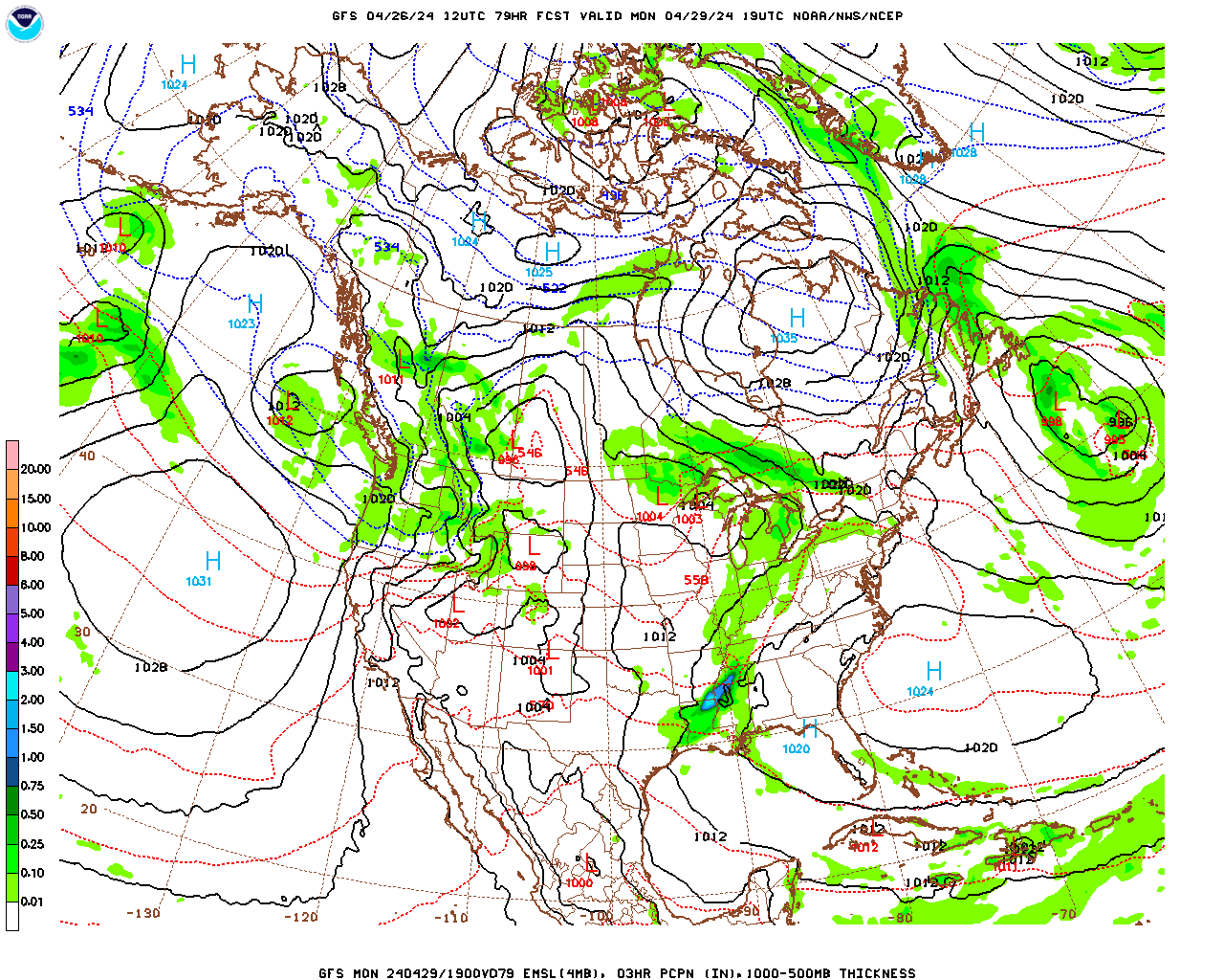
A weak Alberta Clipper type surface low pressure system will bring Berkshire County a light, fluffy snowfall over the next few days. Light intermittent snow should develop across the county from south to north Tuesday afternoon and continue into Wednesday morning, with off and on snow showers continuing during the day on Wednesday. Snow showers Right now it looks like the most likely accumulation is in the 2 – 4″ range. Once the low finally departs off the coast Wednesday night, it will turn cold and blustery with a few scattered snow flurries and snow showers through the weekend. Our next chance for significant snow still looks like Sunday night and Monday but the potential storm is looking less impressive than it was a few days ago.
Analysis:
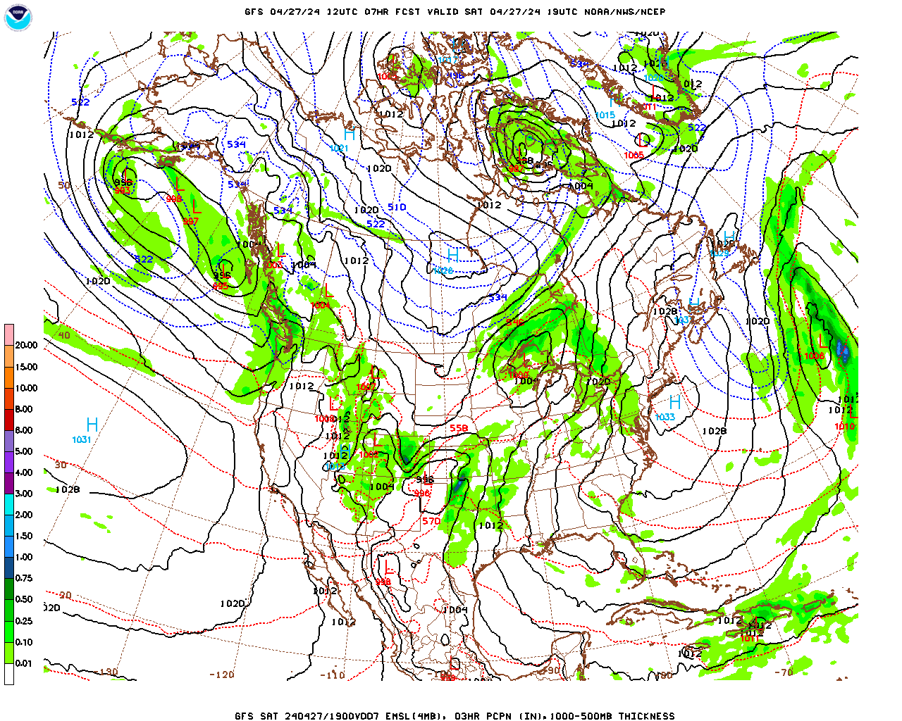
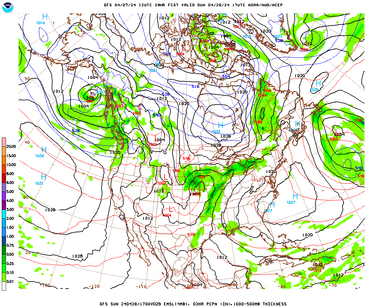
Weak surface low pressure is presently located over Minnesota. This low center will move southeastward across the lower Great Lakes overnight tonight and then slowly eastward across southern New England and out to sea on Tuesday and Wednesday. The low will weaken and split in two as it moves offshore which will slow its eastward progression even further. As a result, we will have a prolonged period of light intermittent snow and snow showers beginning Tuesday afternoon and continuing right into Wednesday evening. Temperatures will be relatively cold at the surface and aloft compared with our recent precipitation events so the snow should be light and fluffy.
Light snow should develop from south to north early Tuesday afternoon and continue off and on through the night. Off and on snow showers should linger through the day on Wednesday as the low splits and the more westward located center moves slowly to our east and offshore. Likely total accumulations by the time the snow ends Wednesday evening is 2 – 4″ with, as usual, the least amounts in the lower elevations and the greatest amounts in the elevated terrain to the east. There may be a few spots in the lower elevations with a bit less than 2″ and a few spots with a bit more than 4″ in the elevated terrain.
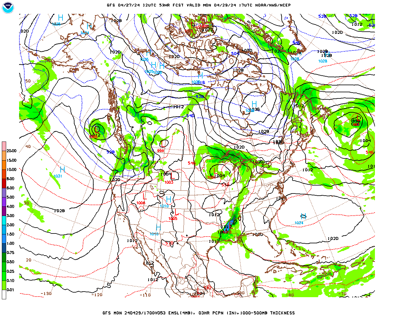
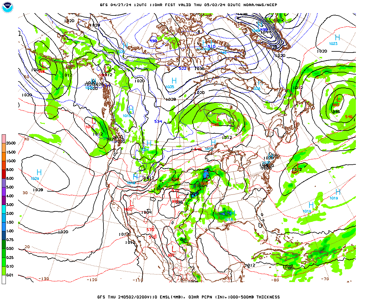
As the low departs, it will help to amplify the upper-level trough which generated it and this will bring cold air from Canada into Berkshire County Thursday through the weekend, as the trough propagates very slowly eastward and becomes centered over our region. At the same time, surface high pressure developing over the Great Plains under the western side of the trough will move very slowly eastward, finally reaching the Northeast by Sunday. The pressure gradient between the departing low and the approaching high will generate fairly strong westerly breezes. As those winds move over the Great Lakes, they will pick up moisture and we will see quite a bit of clouds and some scattered flurries and snow showers right into the weekend. It will also feel quite cold without much sun and low wind chill temperatures.
Forecast:
Monday Night
Partly cloudy and cold. Low temperatures near 10, low teens in the lower elevations of South County and upper single digits over the elevated terrain. Westerly winds at 5 – 10 mph this evening, becoming light after midnight.
Tuesday
Lowering and thickening clouds during the morning. Becoming overcast by noon. Light snow developing from south to north during the early afternoon. Intermittent light snow through the afternoon. Probability of precipitation 80%. An inch or so accumulation is likely. High temperatures in the low to mid 20s, near 20 over the elevated terrain. Light southeasterly winds in the morning becoming easterly at 5 – 10 mph in the afternoon.
Tuesday Night
Intermittent light snow. Probability of precipitation 80%. Likely accumulations 1 – 3″. Temperatures holding steady in the low to mid 20s, near 20 over the elevated terrain. East-southeasterly winds at 5 – 10 mph in the evening, shifting to southwesterly after midnight.
Wednesday
Light snow ending early, then mostly cloudy with scattered snow showers likely. Probability of precipitation 60%. An additional 1″ or less of accumulation likely. Likely total snowfall 2 – 4″. High temperature in the low 30s, low to mid 30s over the lower elevations of South County, near 30 over the elevated terrain. West-southwesterly winds at 10 – 15 mph, diminishing during the afternoon.
Wednesday Night and Thursday
Mostly cloudy and seasonably cold with the chance of a snow shower or flurry. Becoming breezy during the day on Thursday. Low temperatures near 20 Wednesday night, rising only slightly to a high in the mid 20s on Thursday, low 20s over the elevated terrain. Westerly winds at 5 – 10 mph Wednesday night, becoming west-northwesterly at 10 – 15 mph during the day on Thursday with wind chill temperatures in the teens.