Update 3/2/23 Conditions still seem a bit up in the air as to where the rain/snow line is going to end up. We could see as much as a foot of snow or as little as 3-6″. Central Berkshire region is smack dab in the middle where the question of frozen or liquid precip anybody’s guess. The critical thickness regions tend to hover and linger a bit overhead and a smidge to the north while QPF wise the smart money is on about 0.80″ of liquid associated with the system. Having that said about 3- 6″ of slush is still my best guesstimate.
Update 3/1/23 Well, I’m still up in the air for the potential weekend storm. We may actually have a mixed bag, depending on how the system tracks. Frozen precip is now looking more like a 3-6″event, factoring in wherever the rain/ snow line ends up. I’ll wait on one last update 00:00Z 3/2/23. If I don’t log another update, I’ll stick with the 3-6″ event.
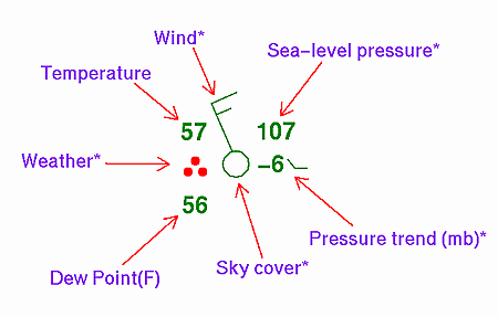
As I write this entry (2/24/23) winds from the north are blowing as they usher in cold air for our region. The BCC weather station is presently registering 21F down from a high temperature of 33F. The Pittsfield Airport is at 24F at this time and is registering winds from the NW at 28mph gusting to 45mph.
Our Low temperature for tomorrow morning should be around 0F to -5F . A far cry from 3 weeks ago. Like the frigid air mass a few weeks ago, it will move out of the area relatively quickly. For the last few days of February, we will be visited by another disturbance around Tuesday which will likely be another liquid/ frozen, messy affair without a lot of accumulating snow on the ground.
However, by Thursday or Friday a more robust system may enter our region and hold the potential for a more significant event. Perhaps 6″12″ of snow may greet us for the first weekend of March. That is unless it tracks south and heads to NJ. >: )
Stay tuned. More to come.