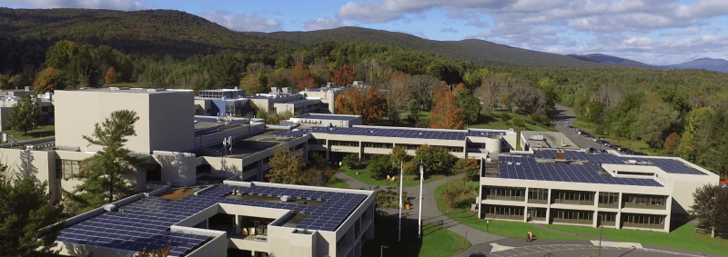
The summer and the COVID have been keeping me busy, to say the least, and I finally have something interesting worth posting about. Today with some help from some other folks at BCC we began a project to take some videos, 360/VR videos, and pictures to document the BCC Nature Trail.
It was a rainy start to the day so the trail itself was a little damp. When we first met for lunch it was still raining, but after some Teo’s and some patient waiting the showers disappeared and the sun came out to dry things up a bit. We decided to do just the drone portion of the mission, the sky is not wet after all, and wait for a dryer time to do the 360/VR video.
Here’s a video from the first part of our drone mission, to capture some closeup video of some of the cliff swallow nests on the side of Hawthorne. I don’t know much about these birds, other than BCC used to be a popular nesting spot however lately their numbers have been declining. These nests are to attempt to encourage them to return.
After that we walked the BCC nature trail and while taking video, measured the height of the radio tower (80 feet) and some key trees in the area. We took some low to the ground video of some interesting plants, although I’m not sure how well those will come out.
To wrap up our tasks today, the BCC Alumni Association recently planted a new orchard on campus, a collection of apple trees near the North Parking Lot. Here’s some of the video.
We will reschedule the 360/VR video shoot to another day soon, perhaps next week.
