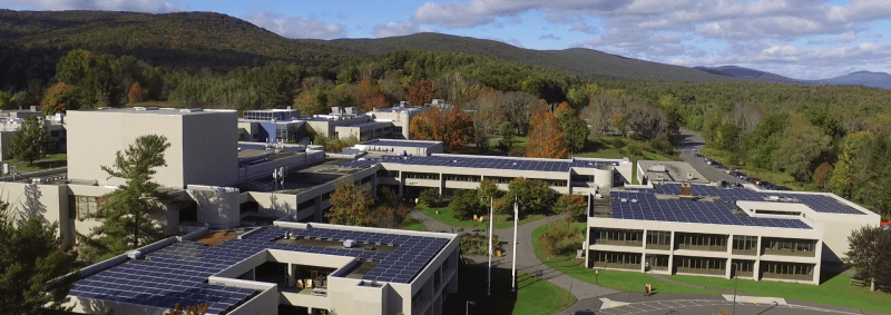
With the recent guidelines for social distancing, many folks are struggling for activities to do. There have been several recent drone videos of major cities, such as San Francisco and Boston, with few to no people in the streets and I’m a big fan of these.
While I really wish I had a nice big drone that can fly far and fast and take 4k video, my trusty Mavic Mini is good enough to get out and fly on most decent days, and yesterday we had one of those. Wind gusts were topping out at about 25mph, which is a little risky for a drone with a top speed of 30-35mph, but I’ve now got several hours of flight time in and lots of experience with the little Mavic Mini so I took a chance. I chose my location, the Eugene Moran Wildlife Management Area in Windsor, MA. I did a little research on this area and saw no notes that drones were not allowed and also that most of the wildlife in this area are birds, a hazard I am very familiar with. For the most part birds stay away, but sometimes if they swarm they can get aggressive or territorial. There was even DPW truck here when I arrived, you can see in the video, and he didn’t seem to have any issues with what I was doing and drove away without issue. If necessary, I had and always have my FAA certification card on me to show that I know the rules and how to follow them.
The flight went very well, although I did get several high wind warnings the little Mavic Mini performed exactly as expected. If you see any jerky movements in the video, that’s because I was reacting to the wind. Here’s the full video for your enjoyment.
I find piloting drones to be exhilarating — it takes a great deal of focus and gives me sweaty palms. While the actual piloting is not very relaxing, I think the results are very much so. When I’m trying to make relaxing videos I use the Cinematic flight mode which gives super smooth results. I think that for future flights I will also do a fly through on regular GPS flight mode so the drone moves faster to more get that feeling of flying.
Tattiya, a colleague of mine at BCC, gave me a really good idea too when we were discussing image juxtaposition. I’m going to program some GPS drone flight paths then go back and fly those paths at different seasons/weather. Once we get a few we can juxtaposition videos! More to come!
