The cold front moving through today will usher in slightly cooler, but much drier air. We will see a fair amount of sun, particularly during the afternoon, on Friday so temperatures will still be above normal, in the 60s. However, dew points will drop from the mid 60s today to around 50 tomorrow so that it will feel considerably cooler that it has for the past few days.
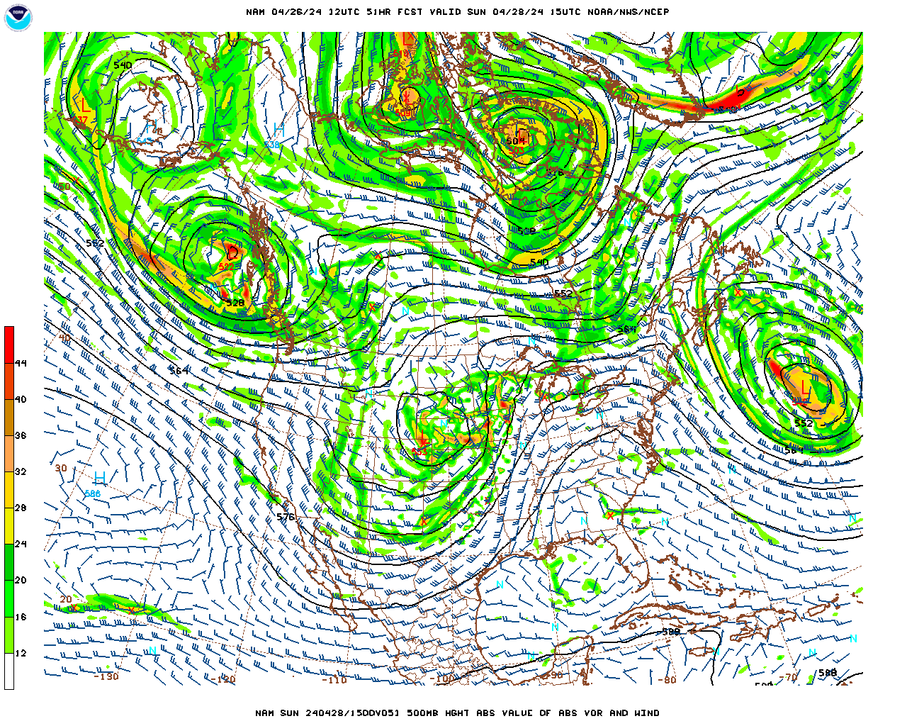
A series of mid/upper-level disturbances (cold pools) in the jet stream flow pattern will rotate through the base of the trough setting up over the eastern U.S. during the day on Saturday. This will result in a deepening of the trough, with much cooler air from Canada, accompanying the disturbances, plunging into the trough and directly over the Northeast on Sunday. Scattered showers will be triggered by the first of these disturbances, ushering in the cooler air, as it moves directly over us on Saturday. It will then turn partly cloudy, breezy and much cooler on Saturday night and Sunday as the axis of the cool trough in the jet stream becomes almost directly centered over us during the day on Sunday. Even though, with a breeze, there will not be ideal radiational cooling conditions Sunday night, the air over us will be so cool and dry that, if you have yet to get a killing frost, you will likely get one Sunday night as temperatures drop into the mid to upper 20s.
Past that, the weather for next week, as opposed to the way it looked a few days ago, is starting to look very inclement. Both of the mid to long-range models, the U.S. GFS model and the European ECMWF model are converging on a solution that would have a very vigorous mid/upper-level disturbance dive into the trough set up over us and deepen and elongate the trough so much that, essentially, the wave trough “breaks” free from the main jet stream and becomes “cut-off” over southern New England. As a result, this solution indicates that a surface low pressure system will develop off the southern New England coast on Tuesday and then stall there as the entire low pressure system, from the surface to the tropopause, becomes cut-off from the upper-level westerlies. If this occurs, we could see an off and on cool/cold rain or showers from Tuesday or Wednesday through the remainder of the work week.
Thursday Night
Mostly cloudy, cooler and drier, although temperatures will still be above normal. There is the slight chance of a light shower. Probability of precipitation 20%.
Low temperatures in the low 50s.
Light southerly winds this evening, shifting to southwesterly and then westerly overnight.
Friday
Decreasing cloudiness in the morning. Partly cloudy in the afternoon. Much less humidity than previous days but it will still be quite mild for mid-October.
High temperatures mid 60s in Pittsfield; mid to upper 60s in Lee, Stockbridge, Adams, North Adams, Williamstown, Great Barrington and Sheffield and; low 60s over the elevated terrain.
Light west-southwesterly winds in the morning, becoming south-southwesterly at 5-10 mph in the afternoon.
Friday Night
Partly to mostly cloudy.
Low temperatures near 50.
Light south-southwesterly winds.
Saturday
Increasing cloudiness in the morning. Mostly cloudy in the afternoon. There is the good chance of a shower, mostly light, during the afternoon. Probability of precipitation 50%.
High temperatures near 60 in Pittsfield, Lee, Stockbridge, Adams, North Adams and Williamstown; low 60s in Great Barrington and Sheffield and; mid to upper 50s over the elevated terrain.
Southwesterly winds at 5-10 mph, shifting to westerly and increasing to 10-15 mph late.
Saturday Night and Sunday
Partial clearing, breezy and much cooler Saturday night, with low temperatures in the mid 30s. Partly cloudy, breezy and unseasonably cool on Sunday. High temperatures averaging in the mid 40s. Killing frost likely Sunday night with lows in the mid to upper 20s.