Storm Update – Thursday, February 9

Posted at 9:30 am

Wow, what a storm! I just measured 9″ of very fluffy snow at my house. High resolution models suggest another 6″ before the storm winds down this afternoon. So everyone should see a foot or more, with some spots in the elevated terrain to the east seeing as much as 18″. It should begin to taper off early afternoon and end by 2 or 3 pm. It then turns windy and cold with blowing and drifting snow late this afternoon through Friday.

Berkshire County Forecast – Wednesday, February 8

Posted at 3:00 pm

Analysis:

The polar front, at the leading edge of a trough in the upper-level wave pattern, will pass through this afternoon, represented at the surface by a cold front. As a result, our temperatures will plummet overnight as the front moves to our south and then stalls over the Mid-Atlantic states. Temperatures will fall to near 20 by morning.

Meanwhile, an upper-level disturbance (vorticity maximum) moving into the base of this trough (over Missouri) is generating upward motion and thus an area of snow extending from Missouri and Iowa eastward through Ohio. An associated surface low center is not yet recognizable. However, as the disturbance moves east and rotates through the base of the trough overnight it will become stronger as it amplifies the trough. As a result, upward motion will increase as a surface low pressure center develops in Virginia this evening. The low will intensify fairly rapidly as it moves off the DelMarva Peninsula early Thursday morning and then tracks southeast of Cape Cod Thursday afternoon. This type of intensification is typical for a “noreaster” type low as it moves offshore and the trough begins to tilt in a negative (east to west) orientation, which enhances vorticity advection (driver of upward motion) and the upward motion is enhanced by the instability created as the cold upper low moves over the warmer ocean waters.

Snow should develop over the county between 4 and 6 am Thursday morning and continue, heavy at times, through the morning before tapering off in the early afternoon and end by mid-afternoon, although there could be a few lingering flurries or snow showers until evening. Even though this storm is a quick mover, the air both at the surface and aloft will be quite cold which should make for high liquid to snow ratios of 15-20:1. As a result, snowfall rates could be 1-2″ per hour at times during the morning. Unlike slow moving storms with enhanced snowfall over the elevated terrain to the east due to upslope effect from the east/northeasterly winds (winds will be more northerly with this storm), the snowfall totals should be more uniform across the county with this storm. Taking all things into consideration, it looks like the most likely snowfall totals should be 8 – 12″. Highest totals are most likely in the elevated terrain to the southeast (e.g. Otis and Becket) with the lower end of the range more likely in the northwest portions of the county.

Temperatures should drop slowly during the day as northerly winds pump colder air south, reaching the low to mid teens late in the afternoon. Windchill temperatures will likely fall below zero as the pressure gradient associated with the intensifying storm generates strong north-northwesterly winds during the afternoon. Expect blowing snow with some drifting during the afternoon and evening.

As the low moves over the Canadian Maritime Thursday night into Friday and the amplified trough becomes centered over the region it will remain cold and windy through Friday. A clipper type low will move through Friday night into Saturday with an inch or two of additional snow and then temperatures moderate over the weekend as the trough lifts out.

Forecast:

Wednesday Night

Mostly cloudy and turning colder this evening. Becoming overcast after midnight with snow developing around 4 – 6 am. Likely snowfall totals 1 – 3″ by 7 am. Low temperatures near 2o. Northwesterly winds at 5 – 10 mph this evening, shifting to northerly after midnight.

Thursday

Snow, heavy at times, during the morning, tapering off in the early afternoon and ending by mid afternoon except for a few lingering flurries or snow showers. Probability of precipitation near 100%. Likely storm total snowfall 8 – 12″. Accumulations should be fairly uniform across the county but the highest end of this range is most likely in the elevated terrain in the southeastern portions (e.g. Otis and Becket) and the lowest end of the range more likely in northwestern portions (e.g. Williamstown). It will be cold and become windy during the afternoon. Temperatures should fall slowly throughout the day, reaching the low to mid teens by late afternoon. Northerly winds at 5 – 10 mph in the morning will become northwesterly and increase to 15 – 25 mph with gusts to 35 mph during the afternoon. Wind chill temperatures as low as single digits below zero during the afternoon.

Thursday Night

Clearing during the evening, then clear to partly cloudy, windy and cold. Low temperatures in the mid single digits, low single digits over the elevated terrain. Northwest winds at 15 – 25 mph, with gusts to 35 mph. Wind chill temperatures zero to -10.

Friday

A mix of clouds and sun, windy and cold during the morning, becoming mostly cloudy with diminishing winds during the afternoon. High temperatures in the mid teens in the lower elevations of central and northern Berkshire, upper teens in the lower elevations of South County, low teens over the elevated terrain. Northwest winds at 15 – 25 mph, with gusts to 35 mph during the morning, diminishing to 5 – 10 mph late. Wind chill temperatures near zero to -10 during the morning, single digits above zero during the afternoon.

Berkshire County Forecast – Tuesday, February 7 – Snowstorm Late Wednesday Night into Thursday

Posted at 4:00 pm

Summary and Analysis:

The models were running a little on the warm side yesterday. As a result, instead of freezing rain changing to rain during the afternoon in the valleys, we got a coating of snow and sleet early and now have a widespread freezing rain event throughout the county. As of 2:30 pm, freezing rain with some sleet mixed in was falling throughout the county, with temperatures between 29 – 32 degrees in the valleys and 24 – 28 degrees over the elevated terrain. Freezing rain and sleet should taper off late this afternoon (around 3-4 pm) then pick up again for a short period around dinnertime (around 5-7 pm). From 7 pm until midnight or so there should only be off and on light freezing rain and drizzle. Temperatures should begin to rise near midnight and rise above freezing countywide after midnight. Precipitation should mostly shut down after midnight except for a brief bout of heavier rain showers between about 3 and 5 am. 

As the surface warm front, extending southeastward from the surface low tracking into Quebec, moves through around midnight, Berkshire County will move into the “warm sector” of the storm. Winds will shift to the southwest and temperatures will rise rapidly into the 40s by Wednesday morning. However, the precipitation will mostly shut off as well, as is typical once a warm front passes. The trailing cold front (extending south from the departing surface low) will then move through during the early morning hours. A pre(cold)frontal band of heavier rain showers will move through just before dawn and then there will be nothing more than a few light showers with the passage of the actual front during the morning. Temperatures will then plunge precipitously through the 30s during the afternoon and into the 20s by evening on gusty northwesterly winds. 

The cold front will then slow down and stall to our south Wednesday night. This will set the stage for a significant snow event for Berkshire County. With cold air in place over the county (temperatures near 20 by morning and falling into the teens during the day on Thursday), a surface low will develop along the front in Virginia overnight and then intensify as it moves northeastward off the DelMarva Peninsula Thursday morning and then tracks just south of Long Island and Cape Cod during the day. Snow will likely develop after midnight and continue moderate to heavy at times into Thursday afternoon. Most likely accumulations are 6 – 12″, with the highest amounts in the elevated terrain to the east, particularly southeast, and the lowest amounts in northwestern portions. I will update this forecast tomorrow afternoon……

Berkshire County Forecast:

Tuesday Night

Off and on, mostly light, freezing rain and drizzle until about midnight. Additional ice accumulations of up to 0.10″.  A little light rain or drizzle after midnight except for a period of heavier rain showers shortly before dawn. Probability of precipitation 90%. Total liquid equivalent overnight 0.10″ to 0.20″. Temperatures will hold steady near 30 in the lower elevations and mid to upper 20s over the elevated terrain during the evening and then rise after midnight, reaching the 40s by morning. Easterly winds at 10 – 15 mph, shifting to southwesterly after midnight.

Wednesday

Cloudy and mild during the morning with a few scattered light rain showers. Cloudy, windy, and turning much colder during the afternoon. High temperatures in the mid to upper 40s during the morning, falling into and through the 30s during the afternoon. Southwest winds at 10 – 15 mph during the early morning, shifting to west-northwesterly and increasing to 15 – 25 mph, with gusts to 35 mph late morning and during the afternoon.

Wednesday Night

Overcast and much colder with snow developing after midnight. Probability of precipitation 80%. Likely snowfall totals 2-4″ by morning. Low temperatures near 20. Northwest winds at 5 – 10 mph, shifting to northeast by morning.

Thursday

Snow, moderate to heavy at times during the morning, tapering off during the afternoon. Probability of precipitation 90%. Likely storm total snowfall 6 – 12″ with the lowest totals in northwestern portions and greatest in the elevated terrain to the east. It will be quite cold, with temperatures holding steady near 20 during the morning, falling into the upper teens during the afternoon. North-northeast winds at 5 – 10 mph in the morning, becoming windy in the afternoon, with northwest winds at 15 – 25 mph, with gusts to 35 mph.

Berkshire County Forecast – Monday, February 6

Summary:

It now appears that the precipitation event for Tuesday into Wednesday will be all in liquid form in Berkshire County. However, the real concern is for freezing rain (icy glaze) as the ground is cold and temperatures will be at or below freezing when the rain starts. In the main towns and lower elevations, this should only be during the morning. Temperatures in these locations should be right around 30 degrees early in the morning when some patchy light rain or showers are likely to develop early, between about 7 and 9 am. Unfortunately, this might cause some slippery roads right as folks are heading off to work and school. However, my guess is that some salt will be spread overnight and with temperatures near freezing, treated surfaces should just be mostly wet. It looks like the rain will be light during the morning and that temperatures in the lower elevations will have risen above freezing by the time heavier rain begins falling in the afternoon.

The elevated terrain is a different story. Temperatures may remain below freezing in many locations until into the evening and there could be an accumulation of ice on trees and power lines, as well as on untreated road surfaces there. Temperatures should have risen above freezing everywhere by later Tuesday night, with temperatures rising into the 40s by Wednesday morning.

A change in the forecast that has taken place in the last couple of days is that the cold front passage on Wednesday looks like it will occur more slowly than it looked a few days ago. As a result, a surface low developing along the front and riding northeast along the front, that looked like it was going to go out to sea to our south, now looks like it may give us a some snow late Wednesday night and into the day on Thursday. However, that is a low confidence forecast at this time as the scenario is quite fluid and the models are not in agreement…..

Analysis:

The polar front lies just to our south this afternoon. As a surface low pressure system presently over the Great Plains moves northeastward through the Great Lakes on Tuesday, counterclockwise circulation around the low will push the front to the north as a warm front. As warm air overrides cold air at the surface, freezing rain will develop across the county tomorrow. It is difficult to be certain as to when temperatures at the surface rise above freezing and the precipitation turns to plain rain but the greatest likelihood of ice accumulation will be over the elevated terrain. The precipitation should be heaviest during the afternoon and evening and then will taper off to scattered showers and light rain after midnight. Temperatures will begin to rise steadily Tuesday night, first over the lower elevations, and then over the elevated terrain as the surface warm front finally pushes through. As Berkshire County moves into the “warm sector” of the storm, between the warm and cold fronts to the south of the low, temperatures will rise into the 40s by Wednesday morning. The surface low, moving into Quebec Wednesday morning, will drag its trailing cold front across the county and temperatures will begin to fall into and through the 30s Wednesday afternoon. It will then turn much colder Thursday, and especially Friday, as the polar front (cold front I just mentioned) plunges well to our south. A surface low developing and riding along the front to our south on Thursday could bring us some snow sometime after midnight Wednesday night and into the day on Thursday. More on this later…..

Forecast:

Monday Night

Cloudy skies with temperatures holding steady in the evening and then rising after midnight. Low temperatures during the evening near 20 to low 20s over the elevated terrain, mid 20s in the lower elevations of central and northern Berkshire and mid to upper 20s in South County, rising into the mid to upper 20s over the elevated terrain, near 30 in the lower elevations of central and northern Berkshire and low 30s in the lower elevations of South County by morning. Winds light and variable in the evening, becoming easterly at 5 – 10 mph by morning.

Tuesday

Periods of light freezing rain during the morning, beginning around 8 or 9 am. Steadier and heavier rain and freezing rain during the afternoon. In the lower elevations, precipitation should be mostly plain rain during the afternoon but freezing rain will likely persist over the elevated terrain through the afternoon and into the evening. Probability of precipitation near 100%. Likely rainfall totals 0.25″ to 0.50″. Ice accumulations less than 0.10″ in the lower elevations but possibly over 0.25″ over the elevated terrain. High temperatures late in the day in the low to mid 30s in the lower elevations of central and northern Berkshire, mid 30s in the lower elevations of South County and near 30 over the elevated terrain. It will be breezy, with easterly winds at 10 – 15 mph.

Tuesday Night

Light rain and freezing rain likely during the evening, with the freezing rain isolated to the elevated terrain, with scattered light rain and showers everywhere after midnight. Probability of precipitation 80%. Likely rainfall totals 0.10″ to 0.20″. An additional 0.10″ of ice is possible over the elevated terrain during the evening. Becoming breezy and much milder after midnight, with temperatures rising through the 30s and into the 40s by morning. Easterly winds at 5- 10 mph in the evening becoming southwesterly and increasing to 10 – 15 mph after midnight.

Wednesday

A mixture of clouds and sun in the morning, becoming mostly cloudy in the afternoon. Breezy and unseasonably mild in the morning, breezy and turning colder in the afternoon. High temperatures in the morning in the mid 40s in the lower elevations of central and southern Berkshire, upper 40s in the lower elevations of South County and low to mid 40s over the elevated terrain, falling into and through the 30s during the afternoon. Southwesterly winds at 10 – 15 mph early, shifting to west-northwesterly at 10 – 15 mph late morning.

Wednesday Night and Thursday

Cloudy and much colder Wednesday night with snow possible after midnight. Low temperatures near 20. Cloudy and cold with snow likely Thursday. High temperature in the low to mid 20s.

Berkshire County Forecast – Friday, February 3

Posted at 4:30 pm

Underlined blue text indicates link to weather maps

Forecast Discussion (Analysis):

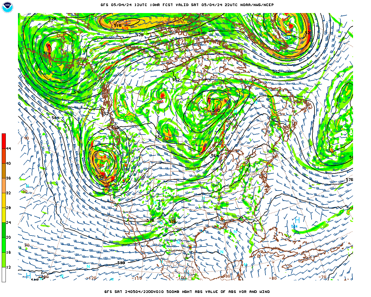
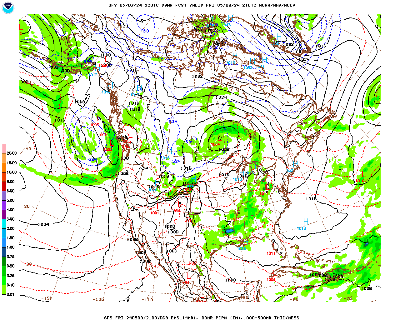
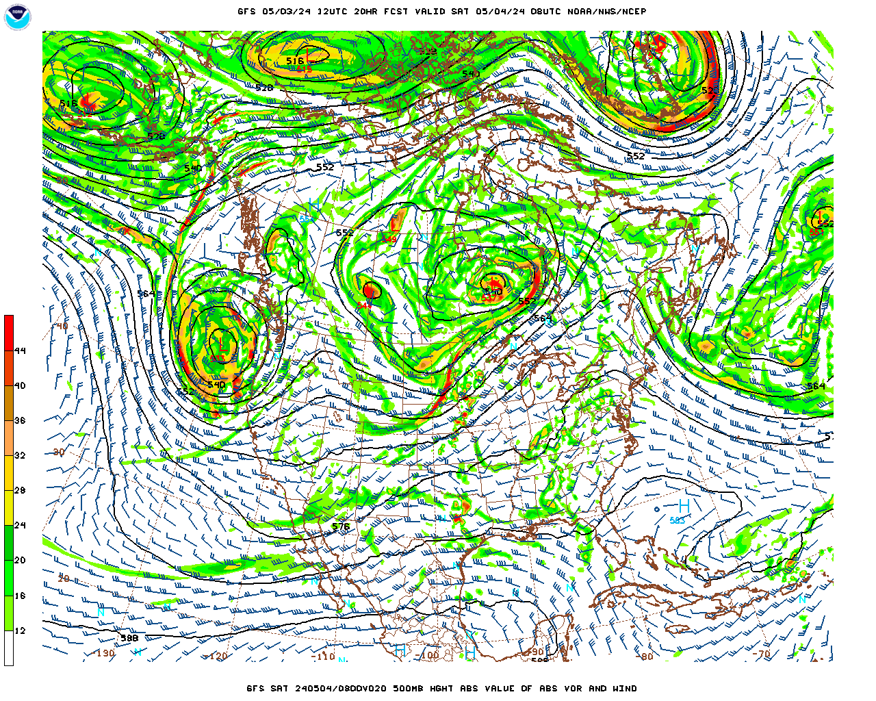
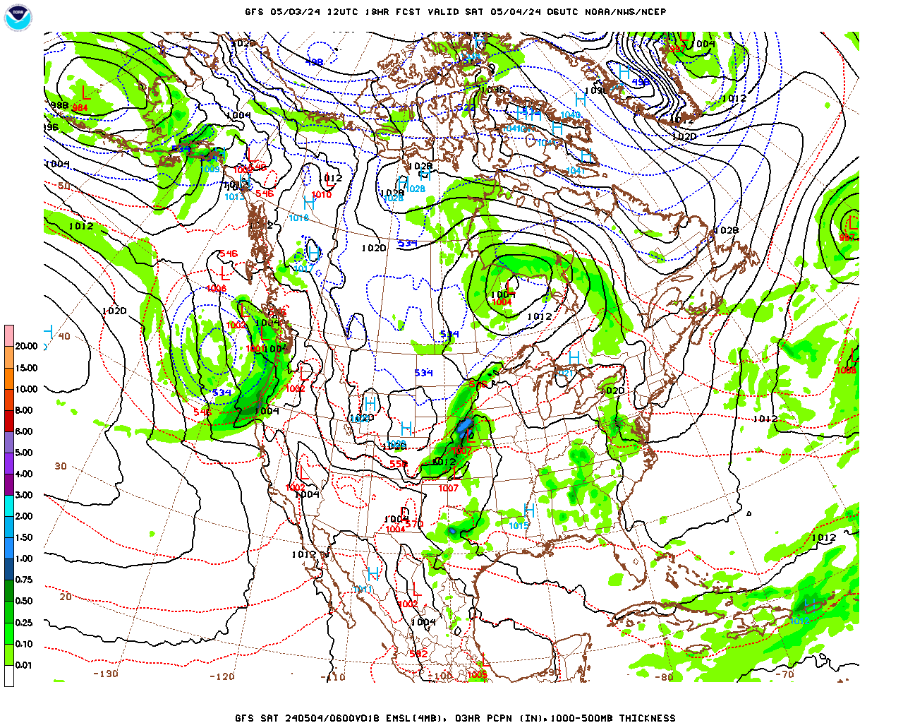
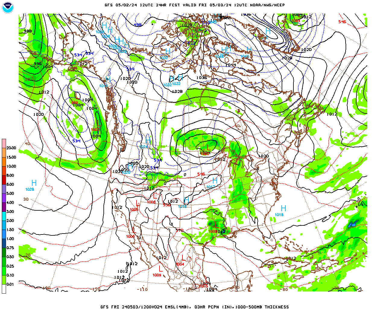
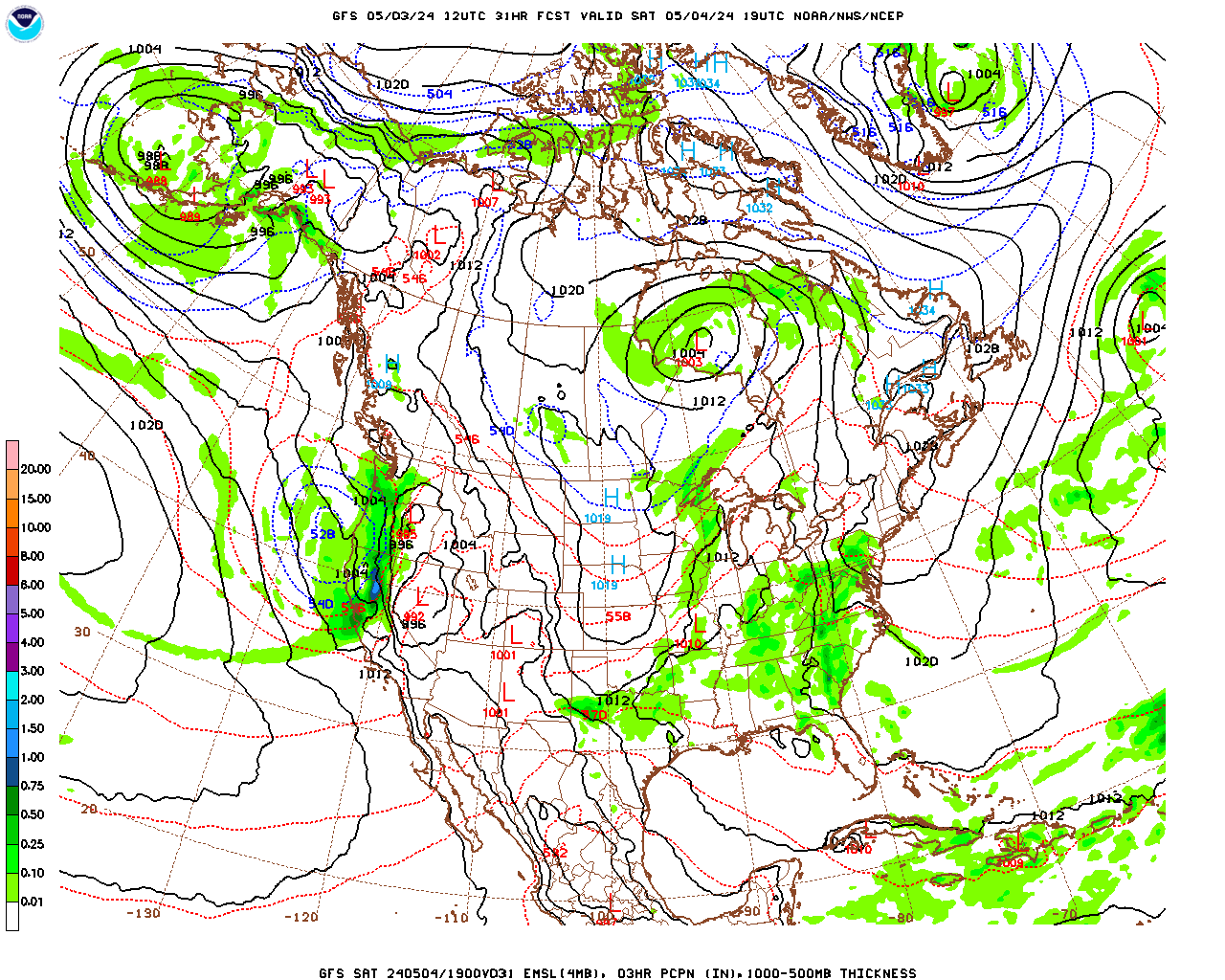
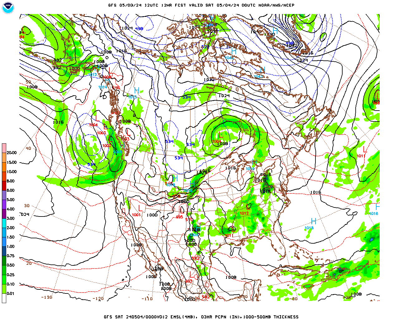
Skies will be generally cloudy Friday night through Saturday, with some periods of scattered lake effect snow showers and flurries as westerly winds, circulating around a surface high pressure system moving by to our south, carrying moisture from the Great Lakes gets lifted by our elevated terrain. Snow showers are most likely tonight into Saturday morning. The lake-effect snow machine should shut off by Saturday afternoon. Any accumulations should be light, on the order of a dusting, but could be as much as 1/2″ in any persistent, heavier bands that develop, particularly over the elevated terrain.

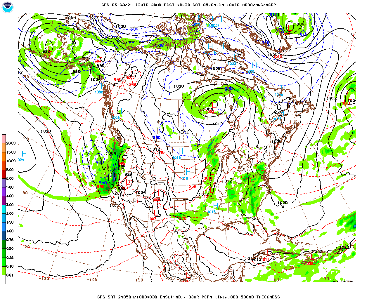
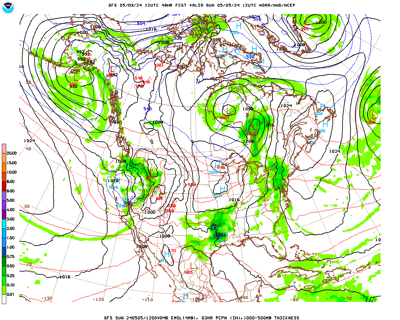
Saturday night through Sunday skies will become overcast as a weak surface low pressure system passes by to our north. Berkshire County should see nothing more than a few snow showers or a short period of light snow, most likely around midday on Sunday, from this system. Any accumulations should be light.

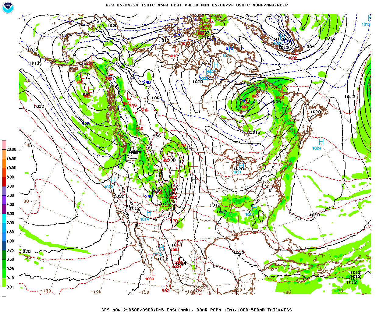
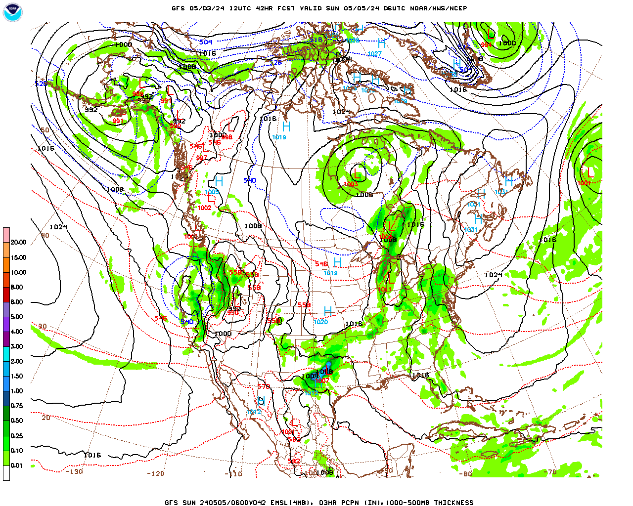
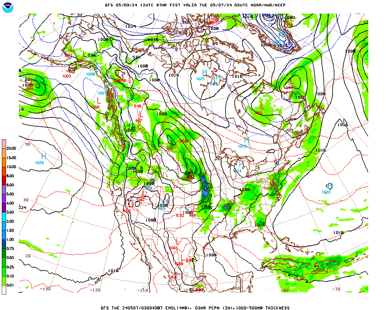
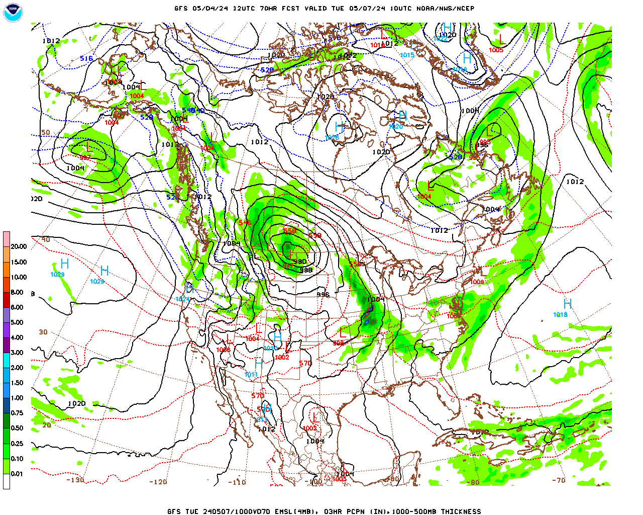
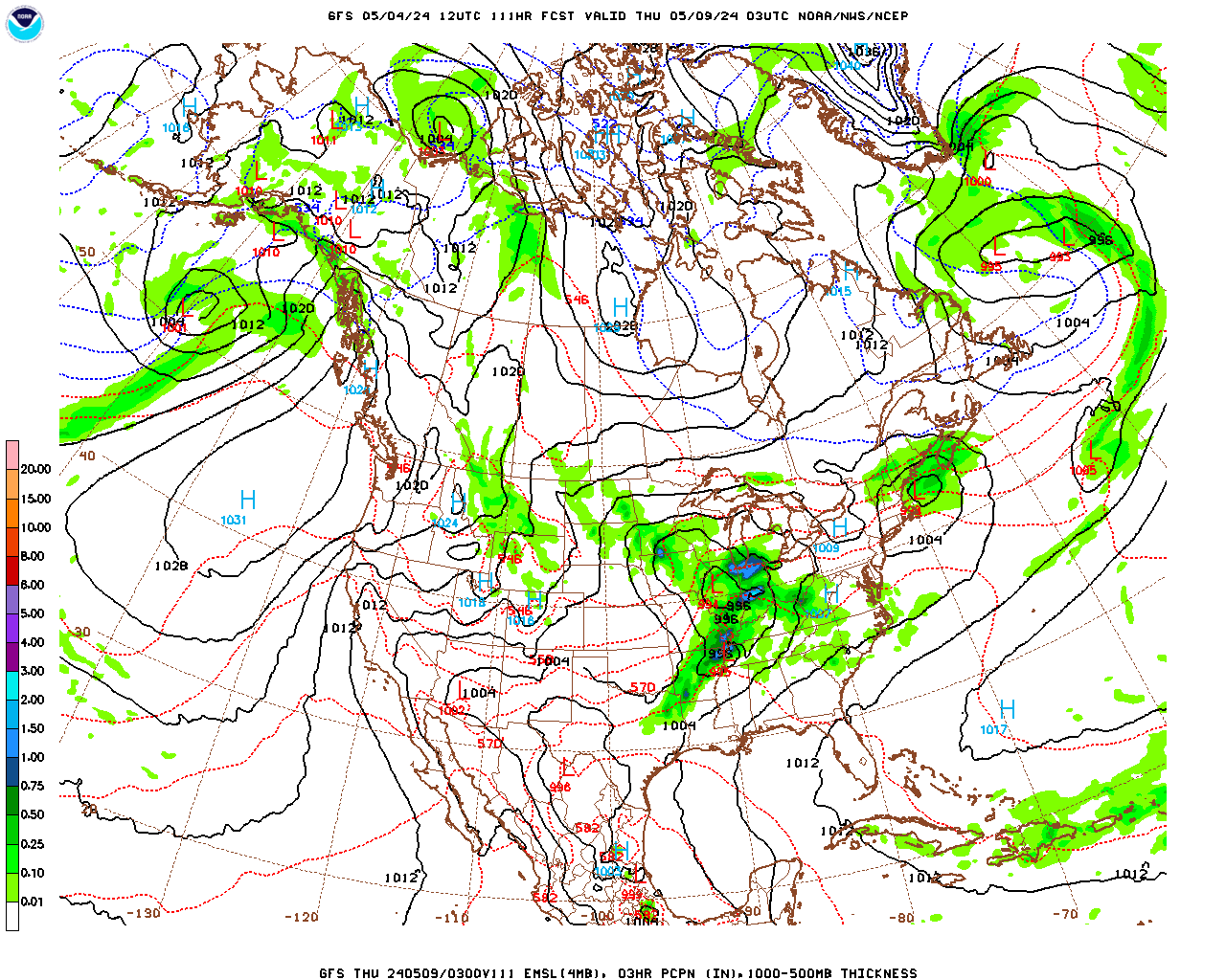
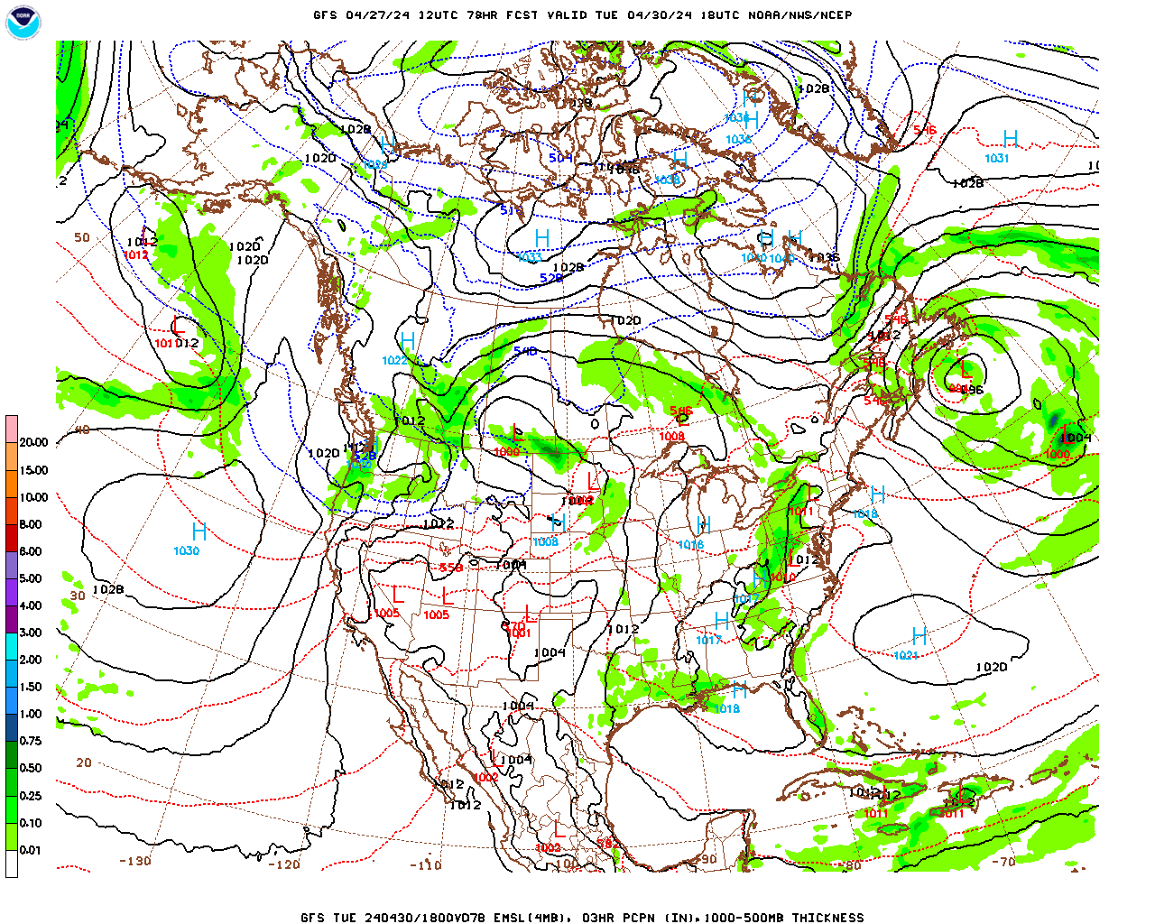
Monday will likely be partly cloudy and colder as weak high pressure builds in briefly before we are affected by a strong low pressure system moving through the Great Lakes on Tuesday into Wednesday. This storm should bring us mostly liquid precipitation as the storm tracks by to our north, leaving us on the warm side of the polar front for most of this event. The surface low will develop over the Great Plains Monday night and then track into the Great Lakes on Tuesday, and then move slowly through the St. Lawrence Valley Tuesday night and Wednesday. Berkshire County will see the typical progression of precipitation types associated with warm fronts as the counter-clockwise circulation around the low pushes the warm front extending eastward from the low through our region Tuesday night.

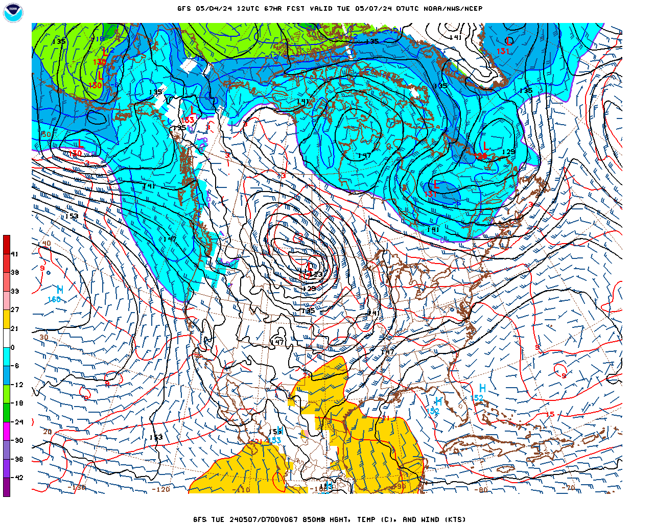
This event is still several days away but the timeframe looks like this right now: Snow develops during the day on Tuesday and we may see a few inches before the precipitation changes to sleet and then quickly to freezing rain by evening as warm air overruns the cold air at the surface. It looks like the biggest threat from this system may be icing. Even though temperatures could rise above freezing at the surface in much of the county Tuesday night, there may be persistent pockets of freezing rain, particularly over the elevated terrain, before the precipitation changes to plain rain everywhere on Wednesday. I will update this forecast in my next post on Monday afternoon. I will give a quick update over the weekend if the situation changes significantly….

Berkshire County Forecast:

Friday Night

Partly to mostly cloudy and breezy with scattered snow showers or flurries likely developing towards midnight and continuing off and on through the remainder of the night. Snow showers are most likely in central and northern Berkshire and less likely in South County. Probability of precipitation 60% in central and northern Berkshire, 40% in South County. Most likely accumulations a dusting where snow showers occur but there could be as much as 1/2″ in any persistent bands, particularly over the elevated terrain. Low temperatures in the low teens, near 10 over the elevated terrain. West-northwesterly winds at 10 – 15 mph.

Saturday

Mostly cloudy, breezy and seasonably cold. Scattered snow showers or flurries possible early, little or no accumulation. Skies may clear and winds should diminish late in the day. High temperatures in the mid 20s in the lower elevations of central and northern Berkshire, mid to upper 20s in the lower elevations of South County, and low 20s over the elevated terrain. West-northwesterly winds at 10 – 15 mph, diminishing to 5 – 10 mph late.

Saturday Night

Partly cloudy in the evening, then becoming overcast. Low temperatures in the mid teens, low teens over the elevated terrain. Westerly winds at 5 – 10 mph in the evening, shifting to southwesterly and then southerly by morning.

Sunday

Cloudy, breezy and milder with snow showers or a brief period of light snow possible late morning into early afternoon. Clearing skies later in the afternoon. Probability of precipitation 50%. Any accumulations should be less than 1″. High temperatures generally in the mid 30s, mid to upper 30s in South County and low 30s over the elevated terrain. Southwesterly winds at 10 – 15 mph.

Sunday Night and Monday

Partly cloudy, breezy and colder. Low temperatures near 20, only rising into the mid 20s during the day. West-northwesterly winds at 10 – 20 mph with gusts to 30 mph. Wind chill temperatures in the teens.

Monday Night through Wednesday

Increasing clouds Monday night. Overcast on Tuesday with snow developing. A few inches of accumulation is possible before snow changes to sleet by evening. Sleet should change to freezing rain during the evening. A prolonged period of freezing rain is possible Tuesday night before precipitation changes to plain rain, particularly over the elevated terrain. There may be some pockets of freezing rain early on Wednesday, particularly over the elevated terrain. Precipitation should change to plain rain and become light everywhere during the day on Wednesday.

Berkshire County Forecast – Wednesday, February 1

Posted at 5:00 pm

Underlined blue text represents links to weather maps or other media

Summary and Analysis:

Reported snowfall totals in Berkshire County ranged from 1 – 2″ in the lower elevations of South County to 3 – 4″ over the elevated terrain in South County (Becket). The only report from North County was Clarksburg with 3″. There was a partial report from Savory of 3.5″ but that was at 11 pm last night, before the snow ended. I measured 3″ at my house in Richmond. A band of heavier snow developed after midnight and moved over central to northern Berkshire. As a result, the highest totals were reported there, with the one report from Pittsfield at 4.5″ and a report from Lanesborough of 6.0″. So….reported snowfall totals had a fairly wide range of 1 – 6″. This was due to the fact that the storm system was weak and disorganized so the snow tended to be patchy with some bands of slightly heavier snow. The main cause of the disparity in snowfall amounts was due to the fact the surface low split in two due to two separate upper-level disturbances. The trailing disturbance and low that came through after midnight had almost all of its snowfall focused in a narrow but fairly heavy band that missed South County entirely but dropped several inches of snow between central and northern Berkshire….

A very broad trough in the jet stream wave pattern remains centered over central and eastern North America. In fact, the trough is so broad that the jet stream pattern is quite zonally (west to east) oriented. This pattern will not change much into next week. Therefore, the lack of any amplified waves means that any storm systems that develop will be quite weak. In fact, only one of these looks likely before next Tuesday or Wednesday. On Sunday afternoon and night a weak surface low will move by to our north and give us an inch or two of snow at most. The wave pattern becomes more amplified mid week and it is starting to look like we will see a series of stronger surface lows develop and come through Tuesday night through Thursday. Right now it looks like a mixture of precipitation types will be associated with that storminess but….that event is still a week away.

For the next few days and right through the weekend, temperatures will be slightly below average for this time of year as the center of the previously mentioned trough propagates slowly over the Northeast. At the surface, as the departing surface low moves over the Canadian Maritime, strong surface high pressure developing under the western side of the trough will move slowly eastward. On Thursday, the pressure gradient between the two systems will make for a breezy day and the strong westerly breezes will generate some lake-effect snow showers which will likely come through the county on Thursday afternoon through Friday. As the high pressure system moves in Friday and into the weekend we should see some sun. However, we will be on the northern side of the system so, with the clockwise circulation around the high, we will still have westerly winds bringing moisture off the Great Lakes. As a result, skies will remain fairly cloudy with scattered snow showers or flurries still possible. On Sunday, the previously mentioned weak surface low will be approaching so it should cloud up with a chance for snow showers or a little light snow during the afternoon.

Berkshire County Forecast:

Wednesday Night

Partly to mostly cloudy. Low temperatures in the upper teens, mid teens over the elevated terrain. Westerly winds at 5 – 10 mph, becoming light after midnight.

Thursday

A mix of clouds and sun, breezy and seasonably cold. Snow showers likely in the afternoon. Probability of precipitation 60%. Any accumulations less than one inch. High temperatures near 30, low 30s in the lower elevations of South County, mid to upper 20s over the elevated terrain. Westerly winds at 5 – 10 mph in the morning, becoming west-northwesterly at 10 – 15 mph in the afternoon.

Thursday Night

Partly cloudy and seasonably cold. Still the chance of a snow flurry or snow shower, particularly in northern areas. Probability of precipitation 30%. Little or no accumulation. Low temperatures near 10, mid to upper single digits over the elevated terrain. Westerly winds at 5 – 10 mph.

Friday

Morning sunshine will give way to mostly cloudy skies in the afternoon. Chance of a snow shower or flurry during the afternoon. Probability of precipitation 30%. Little or no accumulation. High temperatures generally in the low 20s, upper teens over the elevated terrain. Westerly winds at 5 – 10 mph.

Weekend

A mix of clouds and sun Saturday. Slight chance of a flurry or snow shower. Mostly cloudy on Sunday with a chance of snow showers or a little light snow during the afternoon.

Low temperatures near 10 Friday night, low teens Saturday night. High temperatures in the low 20s on Saturday, upper 20s on Sunday.