Posted 4:00 pm
Summary:
It will be unseasonably mild for the next few days with a few bouts of, mostly, rain showers. Temperatures should rise above freezing for all but the highest elevations this evening and then stay above freezing into Friday. Some snow showers, or a short period of light snow, is likely late this afternoon and this evening. Snowfall totals should be light, a dusting to as much as 1/2″ over the elevated terrain. It should then remain overcast but dry until about 1 am. There will then be a line of steadier, heavier precipitation moving through between about 1 and 3 am. This will likely be rain, about 0.20″, in all but the highest elevations. Above about 1500 feet the precipitation may fall as wet snow. If snow does fall, these higher elevations will likely receive about 1/2″ – 1″ with up to 2″ in the highest elevations.
Wednesday should see variable amounts of clouds and sun. It will be dry and unseasonably mild, with temperatures well up into the 40s. It will then turn overcast again Wednesday night and remain quite mild, with a few rain showers after midnight. It will remain cloudy and mild Thursday, with temperatures once again well up into the 40s. There will only be a little drizzle or a light shower or two during the morning with a better chance of showers during the afternoon as a stronger cold front moves through. This will set the stage for dropping temperatures but drier weather, with temperatures dropping through the 30s Thursday night with seasonably cold temperatures Friday through the weekend. There could be a little light snow Saturday night as the polar front, stalled to our south, inches back toward the region but snowfall should be light, on the order of a dusting to 2″ at most.
Analysis:
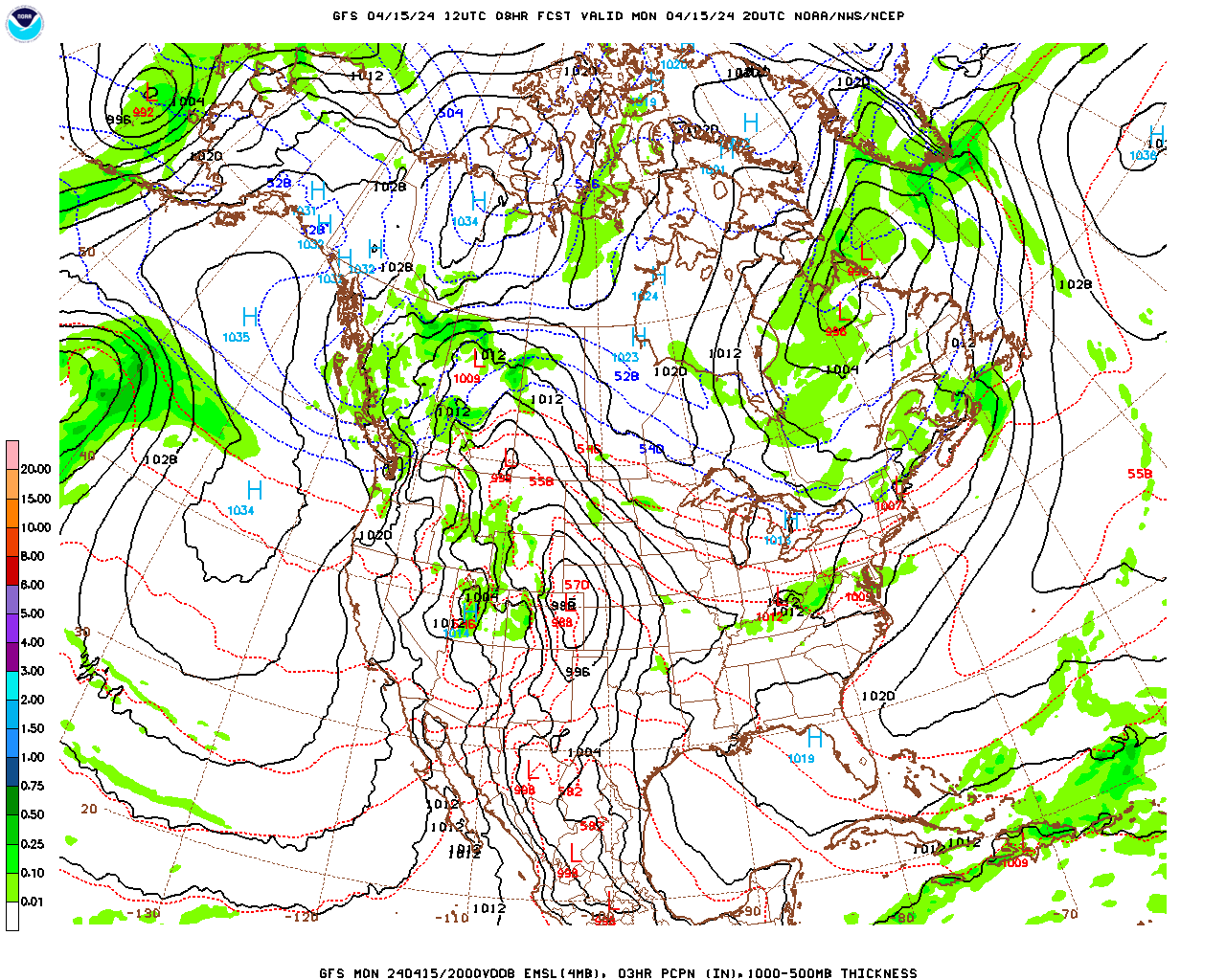
Somewhat complex but weak low pressure systems will move through over the next few days as a weak portion of the polar front moves back and forth over the region. As a result, we will see unseasonably mild weather with bouts of, mostly rain, showers. As of this afternoon, a surface low pressure system is moving northeastward through the Great Lakes. It will drag its associated warm front through this evening. There will likely be a few snow showers or a period of light snow associated with this frontal passage. Accumulations should be light, on the order of a dusting to 1/2″. This low’s trailing cool front will then move through after midnight with a steadier period of precipitation between 1 and 5 am. This will be rain in most areas but the precipitation could remain as snow above 1500 feet. Expect 1/2″ to as much as 2″ in these higher elevations. The front will then stall to our south and then move back as a warm front on Wednesday and Wednesday night. We will see a few light rain showers as it passes after midnight Wednesday night.
A deeper trough in the upper-level wave pattern will finally upropagate eastward, with a surface cold front along the leading edge moving through Thursday evening. Surface high pressure will build into the region during the day on Friday so we will likely see some sun but it will be breezy and seasonably cold. The trough then flattens out and the polar front stalls to our south on Saturday. A weak disturbance propagation along the front to our south could bring us a little light snow Saturday evening but then high pressure should build back in for Sunday, with a good amount of sun and seasonably cold temperatures.
Berkshire County Forecast:
Tuesday Night
Overcast, quite breezy, and much milder than previous nights. Snow showers or a period of light snow are likely early this evening, ending by 9 pm. A steadier period of precipitation, mostly rain, will occur between 1 and 5 am. This will likely be snow above 1500 feet or so. Probability of precipitation 60% in the early evening, near 100% after midnight. Rainfall totals between 0.20″ and 0.25″. Snowfall totals a dusting to 1/2″ in the lower elevations during the evening, 1/2″ to 2″ above 1500 feet. Temperatures rising to near 40 over the lower elevations, mid 30s over the elevated terrain. Southerly winds at 15 – 25 mph with gusts to 35 mph, particularly over the elevated terrain.
Wednesday
Mostly cloudy early then becoming partly cloudy. It will be unseasonably mild. High temperatures in the mid 40s over the lower elevations (e.g., Pittsfield, North Adams), upper 40s in the lower elevations of South County (e.g. Great Barrington), low 40s over the elevated terrain. Southwesterly winds at 5 – 15 mph early, becoming light during the afternoon.
Wednesday Night
Increasing clouds during the evening. Overcast and mild with a few light rain showers likely after midnight. Probability of precipitation 60%. Likely rainfall 0.10″. Low temperatures generally in the mid to upper 30s. Southerly winds increasing to 10 – 15 mph.
Thursday
Cloudy, breezy and unseasonably mild. There could be a little drizzle or a light rain shower in the morning. Rain showers are likely during the afternoon. Precipitation probability will increase from south to north (greatest probability in North County) and as the afternoon progresses. High temperatures near 50 in most locations. South-southwesterly winds at 10 – 15 mph.