Posted 3:30 pm
Summary:
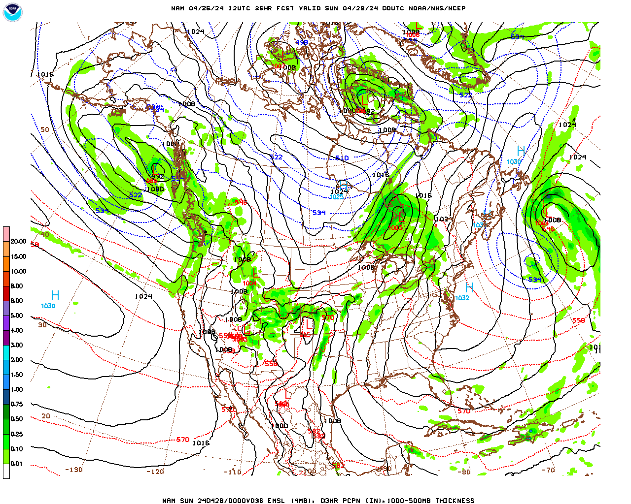
A surface low pressure system will develop off the Southeast US coast overnight tonight and then move up along the coast, but offshore, during the day on Saturday. It will intensify as it moves to a position south and east of Cape Cod Saturday evening and then into the Canadian Maritime region Saturday night and Sunday. This storm will bring heavy snow to the Southeast and parts of the Mid-Atlantic, with a wide swath of 6 -12″ from northern SC through NC and into eastern VA. There could even be up to 15″ along the central coast of VA. As the storm moves by Cape Cod it is also likely to dump 6 – 12″ in southeastern New England, with up to 18″ on Cape Cod on Saturday and Saturday evening. We should be on the western edge of the snow shield during the day on Saturday. As of this afternoon it looks like snow should begin here during the afternoon and end during the evening. The snow should be generally light. Most likely accumulations are 1 – 3″, with the least in northwestern parts of the county and the most in southeastern portions. Since we are projected to be at the western edge of the precipitation, any shift in the projected track of the storm will have a significant impact on accumulations. If the storm tracks 50 miles to the east, we will only get a dusting, or no snow at all. If the storm tracks further west we could get 3 – 5″.
Analysis:
The broad trough in the jet stream wave pattern, and its associated cold weather, continues to cover the entire northern tier of states. This trough will finally begin to propagate slowly eastward this weekend. As this occurs, the nadir of the trough, and thus the coldest air will become centered over New England on Sunday. This will result in significantly below normal temperatures for Berkshire County through Monday. As the coastal storm rides northeastward along the eastern edge of this trough we will likely see some light snow Saturday afternoon and evening (see summary). Once the surface low moves into the Canadian Maritime on Sunday, moist flow circulating around the low, will be enhanced by the Great Lakes and lifted by our elevated terrain. As a result, we are likely to see scattered snow showers here on Sunday as well.
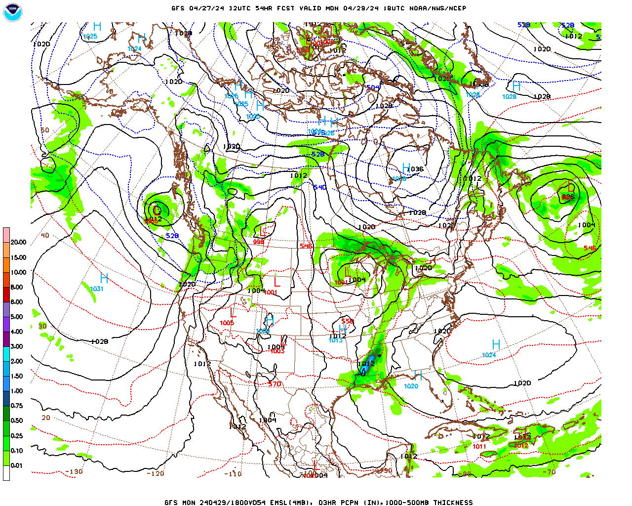
The trough then lifts to the northeast as the wave pattern flattens out (becomes zonally [west-east] oriented) for mid to late week. As a result, milder air will move back in to the county and temperatures will rise to above average, well into the 30s and possibly even the 40s Wednesday through Friday. The advance of this warmer air will be represented by a surface warm front to our south on Tuesday. This warm front will be extending eastward from a surface low moving into the Great Lakes along the eastern edge of the next ripple (trough) in the jet stream. As the warmer air overrides colder air at the surface on Tuesday and Tuesday night, light snow will likely break out late Tuesday but should change to sleet, freezing rain, and eventually rain Thursday evening and overnight.
Berkshire County Forecast:
Friday Night
Partly cloudy this evening, then increasing clouds after midnight, becoming overcast by morning. It will be quite cold, with low temperatures in the upper single digits in most of the lower elevations, near 10 in South County (e.g. Great Barrington) and mid single digits over the elevated terrain. Wind chill temperatures dropping to near zero. West-northwest winds at 5 – 10 mph, becoming light by morning.
Saturday
Overcast and cold. Light snow likely developing during the afternoon, ending during the evening. Probability of precipitation 60% in North County, 70% in central Berkshire and southwestern portions and 80% in southeastern portions (e.g. Otis, Becket). Most likely accumulations by the time the snow tapers off in the evening, a dusting to 1″ in the lower elevations of North County, including Williamstown, Adams and North Adams; 1 – 2″ over the elevated terrain to the east (e.g. Savoy and Florida); 1 – 2″ in the lower elevations of central and southwestern Berkshire, including Pittsfield, Great Barrington, Stockbridge, Lee, Lenox and Sheffield; 1 – 3″ in the elevated terrain of central and southern Berkshire, including Windsor, Peru, Otis, Becket and Sandisfield, with the greatest amounts most likely in the southeastern corner of the county. High temperatures in the mid to upper teens in the lower elevations of central Berkshire and North County, near 20 in South County and mid teens over the elevated terrain. Northerly winds at 5 – 10 mph.
Saturday Night
Any light snow ending in the evening. Remaining mostly cloudy and cold with scattered snow flurries or snow showers overnight. Low temperatures in the upper single digits in the lower elevations, near 10 in South County and mid single digits over the elevated terrain. Wind chill temperatures dropping to near zero. West-northwesterly winds at 5 – 10 mph.
Sunday
Mostly cloudy and cold with scattered snow flurries and snow showers. Becoming breezy in the afternoon. A dusting to 1/2″ accumulation possible in some locations. High temperatures in the mid teens in the lower elevations of central and northern portions, upper teens in the lower elevations to the south and low teens over the elevated terrain. West-northwest winds at 5 – 10 mph in the morning, increasing to 10 – 20 mph in the afternoon.