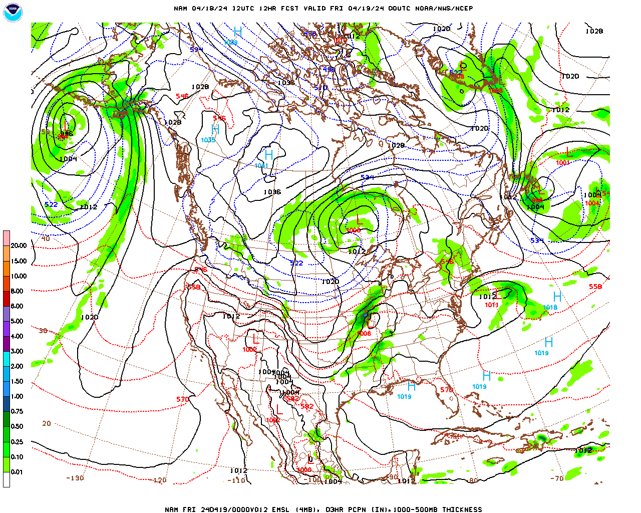
A deep trough in the jet stream wave pattern is generating a fairly vigorous low pressure system for this time of year along its eastern margin. This low pressure system is presently moving northeastward through the Great Lakes and is generating a large shield of rain in the northern Great Lakes and into southern Ontario. A cold front trailing south from the low is generating a band of showers and thunderstorms in the eastern Great Lakes and portions of the Midwest. This cold front will move through Berkshire County late Thursday afternoon and early Thursday evening. This will result in scattered showers during the day Thursday as the front lifts relatively warm and moist air which will move into the region tonight and tomorrow on southerly winds in advance of the front. The strongest lifting associated with the front will lift north of our region with the associated low pressure system so showers are likely to be scattered and light to moderate. There may be a few imbedded rumbles of thunder with the actual frontal passage late in the day. However, instability will be limited with cloud cover most of the day so thunderstorms are relatively unlikely. Showers could occur at any time during the day but are most likely during the afternoon and into early evening.
The frontal passage will open the door to the coolest airmass of the season so far, although the coolest air will remain well to our north over Canada. Still, temperatures will struggle into the low to mid 60s during the day, despite sunshine on Friday, and may not get out of the upper 50s over some parts of the elevated terrain. Sprawling surface high pressure will build slowly into the eastern U.S. as the trough inches eastward and then stalls into a “standing wave” pattern that we have seen for a good part of this year, with a trough over the eastern U.S. and a ridge to the west. As a result, it should remain relatively cool for the foreseeable future, until a strong enough disturbance in the jet stream comes along to give the wave pattern a “kick” and get it propagating eastward again. Fortunately for us, the eastern edge of the trough, which is where surface lows (storms) are generated, will be located just far enough to our east so that whatever weak lows are generated pass well to our south and east and surface high pressure along western and central portions of the trough can dominate our weather into early next week. As a result, despite the cool temperatures, it should remain relatively fair and sunny. The only fly in the ointment is a weak jet stream disturbance rotating through the trough on Saturday and Saturday night. However, it should remain far enough to our north that we only see some cloudiness with just a slight chance of a light shower or sprinkle Saturday evening.
Wednesday Night
Increasing and thickening clouds this evening, becoming mostly cloudy after midnight. Milder than previous nights. There is a slight chance of a shower toward daybreak. Probability of precipitation 20%. Rainfall totals should be 0.05″ or less.
Low temperatures generally in the upper 50s, near 60 in South County.
Light southeasterly winds this evening, becoming southerly and increasing to 8-12 mph after midnight.
Thursday
Mostly cloudy, breezy and mild. Showers are likely, predominantly from mid afternoon to early evening. Probability of precipitation 70%. Rainfall totals most likely between 0.10″ and 0.25″.
High temperatures in the low 70s in Adams, North Adams, Williamstown, Pittsfield, Lee and Stockbridge; low to mid 70s in Great Barrington and Sheffield; and near 70 over the elevated terrain.
Southerly winds at 10-15 mph, shifting to northwesterly towards evening.
Thursday Night
Mostly cloudy in the evening with a slight chance of a light shower or sprinkle, then gradually clearing skies after midnight. Becoming much cooler and drier, with a bit of a breeze.
Low temperatures in the mid to upper 40s, with some low 40s over the elevated terrain, particularly in North County.
Northwesterly winds at 8-12 mph.
Friday
Mostly sunny and cooler.
High temperatures in the low to mid 60s in Pittsfield, Adams, North Adams, Williamstown, Lee and Stockbridge; mid 60s in Great Barrington and Sheffield and; near 60 over the elevated terrain.
Northwesterly winds at 5-10 mph.