Just a reminder, I have provided links to various weather maps which can be viewed by clicking on any underlined text.
Summary: The region is enduring ridiculously high dewpoints today. These readings are particularly ridiculous given that it is mid-September. Any reading over 70°F is unusual in Berkshire County and signifies very uncomfortable air. The highest I have ever recorded on my home weather station, which has been running for 20 years, was 75° and earlier today it recorded 79°! The BCC weather station recorded 78.3°. On the Weather Underground website I saw that most readings across the Northeast were in the upper 70s this morning. I even saw a few over 80, although most of these are personal weather stations so the accuracy of the readings cannot be confirmed. The highest readings at official NWS stations in Pittsfield and Albany were 75°, but even these readings are exceedingly high. Actual temperatures are approaching or exceeding 90 in most locations in the Northeast as of 1 pm. It was 94°F at Boston’s Logan Airport. Records may be broken in a few locations although probably not too many. As I mentioned previously, the record for Pittsfield for today is 93°F and it is presently 88°F.
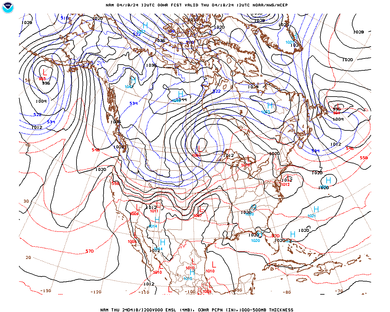
This unseasonable weather is due to a retreat of the jet stream to the north, which has permitted the clockwise flow around the semi-permanent subtropical high pressure system over the western Atlantic and southeast U.S. (Bermuda High) to push a hot and humid maritime tropical (mT) air mass over our region on southwest winds. Fortunately, the presence of this air mass will be short-lived as a wave in the jet stream is deepening to our northwest and will the trough in the wave will “dip” over the region, forcing the jet stream back to our south (manifested as a surface cold front), permitting much cooler and drier air from the north (continental polar air mass [cP]) to flood into the region from Friday into the weekend.
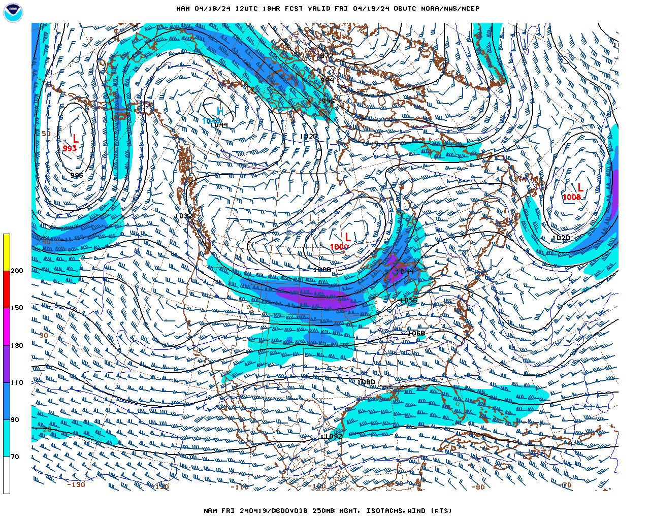
There should be multiple squall lines of thunderstorms forming and moving through the region Thursday afternoon and evening as the strong cold front approaches (“pre-frontal” squall lines during the afternoon) and with the actual frontal passage Thursday evening. The Storm Prediction Center (SPC) is forecasting a “slight” (15%) chance of severe thunderstorms during this period. The risk is mostly for strong winds and, possibly, small hail. The front will provide the “lift” necessary and “instability” in this hot and humid airmass will be moderate. However, even though there will likely be enough vertical wind shear for a few supercells to be embedded within the squall lines, there is unlikely to be enough low level shear for tornadoes to form.
Once the front passes it will become breezy and noticeably cooler and drier (dewpoints in the 40s by Saturday). The cool air aloft will generate enough instability on Friday to keep us fairly cloudy with even a few scattered sprinkles and light showers possible during the afternoon, with temperatures holding fairly steadily in the upper 50s to low 60s in most locations. As the coldest upper-level air within the jet stream trough recedes to our northeast and surface high pressure builds in there should be a return to sunshine with more seasonable temperatures over the weekend. We will struggle to reach 60 in many locations on Saturday but it will feel warmer in the sun. Temperatures should rise to near 70 on Sunday as the clockwise flow around the high pressure system moving to our south and east brings milder air in on southwest flow.
Wednesday Night
Chance of a few isolated thunderstorms this evening, otherwise partly cloudy and remaining warm and muggy. Fog should develop again in many locations overnight. Probability of precipitation 20% in the evening.
Low temperatures in the mid to upper 60s.
Southerly winds at 5-10 mph becoming light and variable later this evening.
Thursday
Once any fog burns off in the morning it will become partly cloudy (25-50% cloud cover). Partly sunny (50-75% cloud cover) during the afternoon with thunderstorms likely. Some of these thunderstorms will be accompanied by heavy rain and strong winds. Probability of precipitation 70%.
It will remain unseasonably warm and muggy before any thunderstorm activity begins with high temperatures in the low 80s in Pittsfield, Adams, North Adams and Williamstown, mid 80s in Great Barrington and Sheffield and near 80 over the elevated terrain and hilltowns. Dewpoints should remain in the low 70s in most locations.
South-southwesterly winds at 5-10 mph but stronger and gusty in any thunderstorms.
Thursday Night
Showers and thunderstorms likely in the evening. Partial clearing after midnight. Probability of precipitation 70% in the evening.
Temperatures falling to near 60 countywide by morning. It will feel even cooler with a bit of a breeze and dewpoints falling into the 50s.
South-southwest winds at 5-10 mph in the evening, shifting to west-northwest and increasing to 10-15 mph after midnight.
Friday
Partly sunny in the morning, becoming mostly cloudy in the afternoon with a chance of a few scattered light showers, particularly over the elevated terrain. Breezy. Probability of precipitation 20% in the valleys and 40% over the elevated terrain. Precipitation amounts should be less than 0.05 inches.
Temperatures holding steady from near 60 to the low 60s in Pittsfield, Adams, North Adams and Williamstown, low to mid 60s in Great Barrington and Sheffield and the upper 50s over the elevated terrain. Temperatures will drop a few degrees in any light showers.
West-northwest winds at 10-15 mph with some gusts to 20 mph, particularly over the elevated terrain.
Saturday and Sunday
Right now it looks like a good amount of sunshine both days. It will be cool on Saturday with a bit of a cool breeze as well. High temperatures should range from the upper 50s to low 60s in most location but it will feel warmer than that in the sun. It will be milder on Sunday with temperatures likely approaching 70.